
Great days don’t always finish the way they are planned. Sunday November 9th, I met some new hiking friends at Chapters at 6:30am. Our plan was to do the Beaufort Lake Loop, approaching the range from the Port Alberni side. As you can discern from the title … we didn’t quite make it.

It was disappointing to be denied access for the hike but we made a decision to look for adventure elsewhere. After checking the book and a short discussion, we decided that we would head toward Mt.Apps Trail. Non of the group had done it before, so the day would not be a loss. However upon attempting to drive to the start of the trail, we encountered yet another gate. As we parked to inspect the lock, a forestry contract worker arrived and told us that he wouldn’t give us access. He was there to service some of the machines, obviously there is logging activity happening up the road.
 |
| GPS Route with Photographic Annotation |
Starting Elevation: 923 m
Maximum Elevation: 1610 m
Total elevation Gain: 870 m
Total Time: 4 hours 40 min


Watching the wind move, this is what fog permits. It wound its way around the trees and over the landscape. Once on the bump, the conditions were not improved, the view consisted of: clouds blowing by. But look at the amazing photo! The depth of the grays! OH MY! So dynamic. It will make an excellent addition to my collection of Vancouver Island’s most magnificent views.
 |
| One Moment |
 |
| The Next |
We carried on, without further delay, We climbed the final hill to the long ridge that runs north-west, trundling along at an enjoyable pace. The closer we moved to our destination, the colder the air became. The benefit, the visibility improved, we could see where we were going, though still not the distant hills. As we rounded the final corner the wind was whipping through us, about 20 knots. The hemlock present right by the summit were encrusted with ice…. on just one side. The moisture blowing past was freezing on one side of the tree.
 |
| Frost Forming on the Hemlock |
We reached the summit (1610 m ) just after noon. We signed the register, took our photos and then tucked in low and enjoyed our lunch. We talked of our individual past adventures and as we sat, watched the landscape, the clouds breaking and resettling, over and over. A few of us captured a few landscape shots, I wasn’t as attentive or lucky.
 |
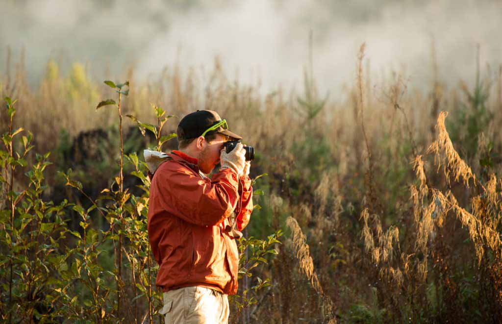
| Caleb about to Summit |
During our descent the sun broke through the clouds. We revisited the south east bump, this time we could see the distant south and west. WE had our fill of the views and then descended to the car.

We all arrived safely back at the car at 2:40. Although I have recently done this hike, I still enjoyed being up there.