
This summer is turning out to be the summer of amazing weather and epic trips –KNOCK ON WOOD…….
 |
|
Phillips Ridge as viewed from Flower Ridge, Mt. Myra on the left
|
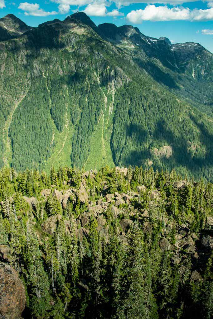
The Island Mountain Ramblers and the Comox District Mountaineering Club (CDMC) jointly participated in a hike lead by Ken Rodonets from August 2nd – 4th, on Flower Ridge in Strathcona Provincial Park. Flower Ridge is a well defined and often traveled trail that ascends quickly from Highway 28, the main road from Campbell River to Gold River, and up into the low alpine, around 1400 m. The ridge juts into
Strathcona Park and offers views of many surrounding ridges and mountains.
 |
| GPS Rout with Photographic Annotation |
Total Distance: 31 km
Starting Elevation: 230 metres
Max Elevation : 1640 meters
Total Elevation Gain: 2379 meters
Starting Out – Trailhead to the top of the Ridge
This was my first trip up Flower Ridge. I started in Nanaimo, leaving town at 6:30 am, to rendezvous with Ken and some other CDMC members at his place in Courtenay at eight. After a quick hello, we hit the road turning west at Campbell River on Highway 28, toward Gold River. The highway trends south and when you reach the Buttle Narrows Bridge, you continue south onto Westmin Mine Road, also knows as the Buttle Lake Parkway. The hike is located in Strathcona Provincial Park and is easy to spot, a sign marks the Henshaw Creek Trailhead and Flower Ridge. Since the trailhead is immediately at a bridge over Henshaw Creek, there is also a sign marking the river.

We arrived at the Henshaw Creek trailhead, just down the road from the area where John Young and I started our Sheppard Ridge hike in 2011. Between the two outdoor clubs, Ken managed to muster 10 hikers in total, eager to hit the hill.
We departed the parking lot by 10:40 and we were happy to hit the dense old growth forests of the lower section early in the day, as it provided a reprieve from the sun that would ultimately bake us all weekend long.I describe this day as having two portions, up and across. The up portion, from 230 metres at the car park, to 1450 metres at the apex of the day’s hike along the ridge. The climb through old growth forest is filled with thimble berry, oregon grape, and all manner of dense moss eventually gives way as we emerged into the subalpine tundra filled with an abundance of heather, wild blueberry and the odd patch of desiccated moss. The dry July and August combined with high temperatures have left the ground parched, as well as the hikers who quickly drank through the two liters of water which most carried. Even with the dense umbrella created by the big tress, the temperature was in the high twenties and even more extreme in the high subalpine tundra of the ridge proper.

 |
| dozens of butterflies played in the sun spots that pierced through the forest |
 |
| Westmin Mine |
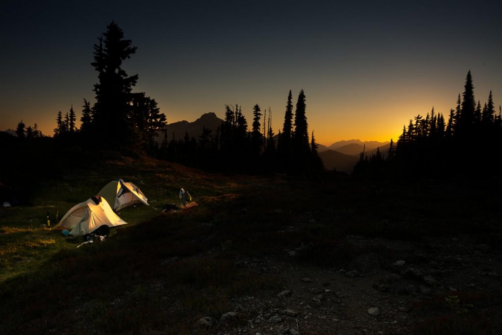
We anticipated a longish hike for the short distance, around four to five hours. Our group was in no hurry, we reached our destination by four thirty. In total we ascended 1400 metrers and walked 8.8 kilometers. We made our camp at two large tarns. These beautiful clear pools created by melting snow, are below the effects of the wind and therefore permitted perfect reflections of their surrounding landscape.


After the long day, we felt as dry as the dried out remains of the heather flowers on the ridge. When we reached our camping area, many of the hikers stripped off their hiking gear and plunged into the waters. I was so thirsty that first I purified and drank two liters of water. Soon enough I too succumbed to the tepid pools. I plunged below the surface and as I opened my eyes and looked across I discovered the water was turquoise!
 |
| Image of 9 Peaks, one of the IQ9 |
 |
| The Golden Hinde, as viewed from FLower Ridge; the highest peak on Vancouver Island and one of the IQ9 |
Day Two – Campsite to Ridge End

 |
| Dean points to the distant summit that we contemplate climbing. In the background Mist Horns, Rosseau and Septimus |

 |
| Milkway |
 |
| Pleiades, Seven Sisters |
Day Three — Return to the Car


Comments
Hello. We want to hike flower ridge and we’re wondering the distance and elevation from the trailhead to base camp. We’re planning twonor three nights there, having a base camp and then hiking to the peaks the following days, returning to base camp.
Thanks, Suzan (suzan.briggs@hotmail.com)
Suzan, sorry for my late reply. I’ve been out hiking! If you look at the details in my report you will be able to find most of the answers you are looking for. From the road to the is 1400 metres of elevation gain and about 9 kilometres horizontal distance. The average person can maintain a pace that will cover 3 km an hour and add an addition 1 hour for every 300 metres elevation gain. Following that formula, you can expect about 7 hours of hiking to the first campsite. Please take enough water! There are no reliable water sources once the route starts it’s steeper climb.
I hope my repsponse makes it to you in time!