
When I posted Marmot Mountain to the club schedule, I enticed members with the promise, “Participants should be willing to participate in moderate bushwhacking to get through the lower areas of this route, and a few of the upper areas… and why not some more in the middle too?”. The trip lived up to my promise.

some of the ol’ cut block standards. There are three people in this photo

Marmot Mountain Route
Total Distance: 9 km
Starting Elevation: 415 m
Maximum Elevation: 1373 m
Total Elevation Gain: 970 m
Total Time: 7h
The route up Marmot delivers a bouquet of bushy experiences starting with the overgrown road. Back in 2017, the road was slightly overgrown but only a minor nuisance. Since then, the alder has grown thick and leafy; still, a narrow game trail provided easy navigation. I’m sure most of us felt the punch of sticks to the chest and swatches across the face. Fed up with the bushy road, we dequeued off before its end. What a mistake! This rewarded us with an extra 20 minutes of heavy bushwhacking through the dense regrowing cut block. I’m happy the bush was mostly dry!

The clear part of the cut block
Back on track, we worked our way up the old-growth, keeping to the route I used on our first trip. We gained the Sadie-Shaw pass and followed that southwest on the height of the land, up the bushy ridge to gain finally gain a patch of open terrain. The average hiker might call this the enjoyable part of the hike.

Almost in the old growth!
As we passed through the marmoty terrain, I kept a keen eye out for any signs of the little critters, but none appeared. With 100 metres remaining to the summit, I had a serious thought about turning back because of time. That lost twenty minutes lost fighting the bush was coming back to bite us in the butt. I twisted a few rubber arms and within fifteen minutes were reached the summit!
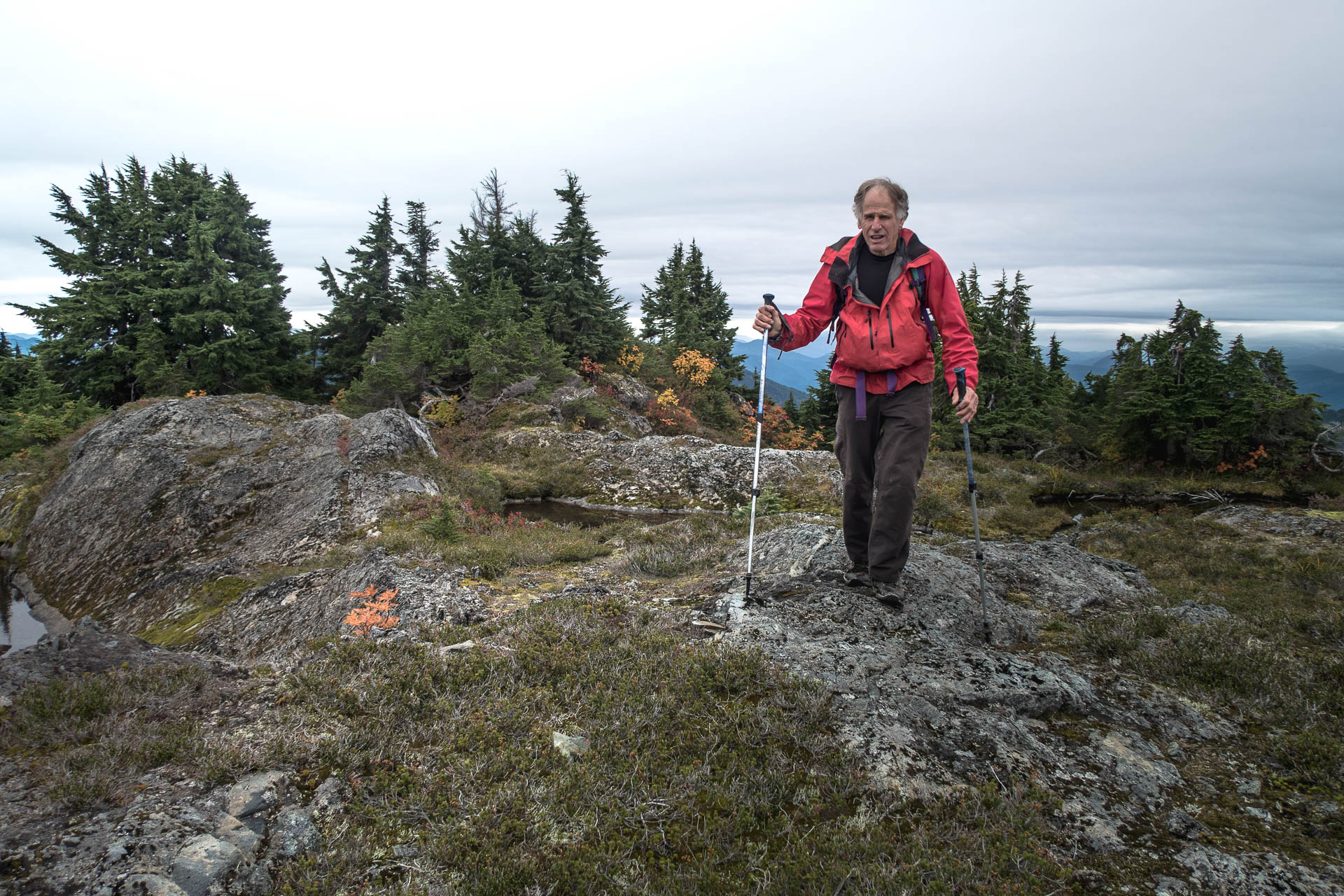
Dean on final approach to the summit of Marmot Mountain
The views from the summit were outstanding. The Sadie Creek valley has at least two other peaks worth a visit. From the summit of Marmot Mountain, we could see the connecting ridges, small lakes and low alpine terrain. All this led to talk of multi-day adventures to these not often summit peaks.

Descending Marmot Mountain, Hooper in the distance.
We kept our lunch break short, and we were already taking the risk of getting back to the gate too late. The cloud followed us down the mountain; midway, a light rain began. By the time we made it to the cut block, I was very moist, yet my boots were still dry. That didn’t last long. Once we started along the alder-covered road, ribbons of water pearled off my jacket down my legs and into my boots. With every step, I collected handfuls of water in my cupped hands. Sadly, under the weight of the water-covered leaves, the alder boughs drooped. It was a solid alder thrash back to the car. No manner of gentle movements was able to move the branches out of our way. There was nothing for it; I leaned into it.
A great day! Thanks to everyone who shared it with us!
Full album of images from this trip


-

- some of the ol’ cut block standards. There are three people in this photo
Share this Post