
My summers are hectic. I pack my days full of hiking in the mountains and coasts of the island. Often, I’m thinking about what to pack on my next trip while I’m unpacking my gear from a trip I’ve just finished. So come September, I’m ready to head back to work and the normalcy of weekly routines that it brings. But not before I squeeze in one last hurrah, on Labour Day. This year, we picked Marble Meadows as the destination for the weekend, and it didn’t disappoint. It was just what I needed after a summer of rained-out trips and the loss of a friend on a mountaineering trip.

through the foggy morraine.
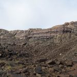
Marble Meadows is a unique treasure within the boundary of Strathcona Provincial Park. But before you start shouting, “Uh, Matthew, there are many treasures in the park!”, let me qualify my point. It’s one of the few places you can stand on the top of a mountain and see exclusively unlogged landscapes, turquoise lakes, and the many types of rock found on the island. It’s a backcountry destination well-known by hikers and fossil-hunters for its rolling terrain, well-booted track, and the millions of fossils visible on the surface of the exposed limestone. You get the point: Marble Meadows is worth a special note.
Total Distance: 30.4 km
Minimum Elevation: 227 m
Maximum Elevation: 2079 m
Total Elevation Gain: 3012 m

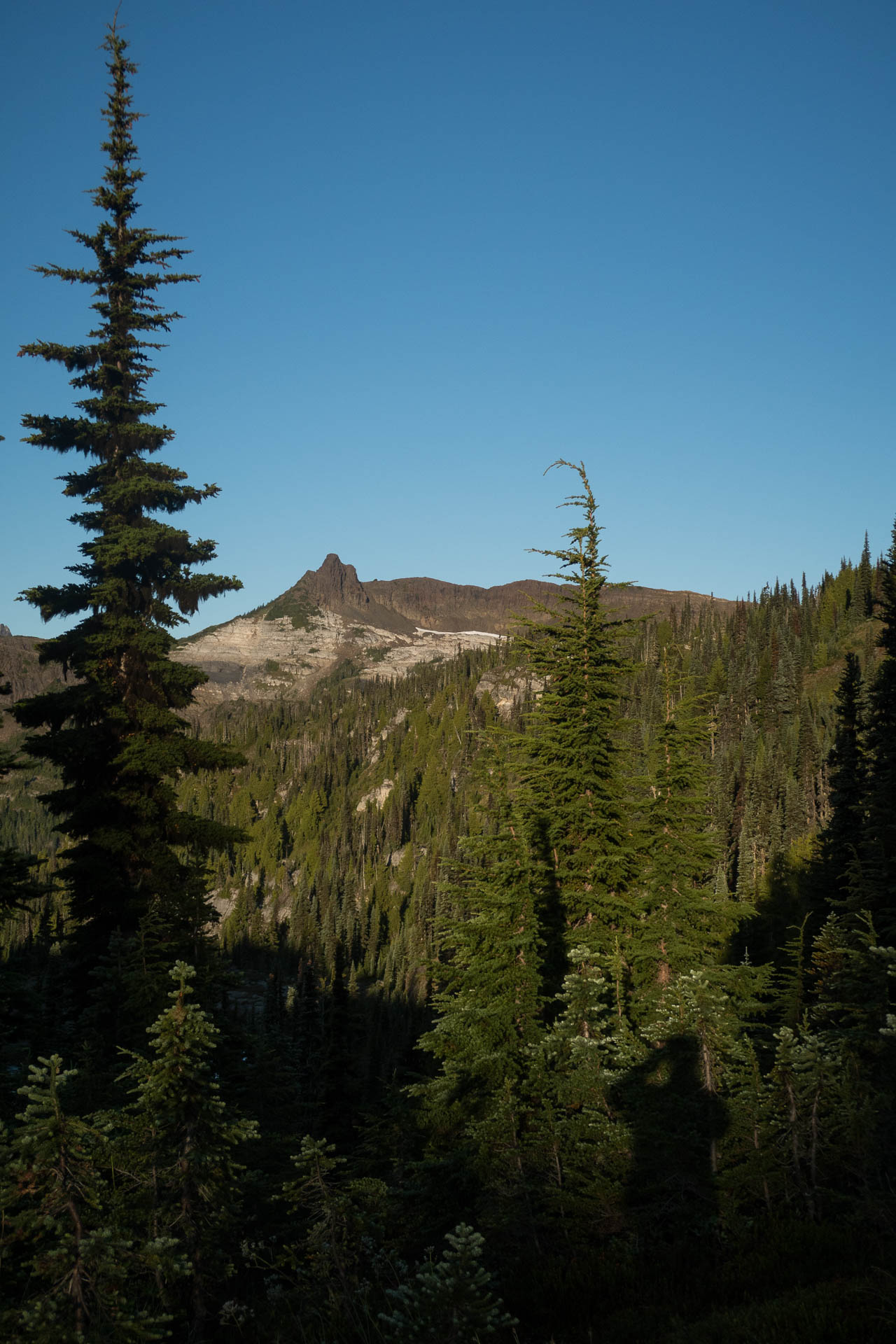
leaving our cares behind!
Day 1 — It Starts With A Paddle
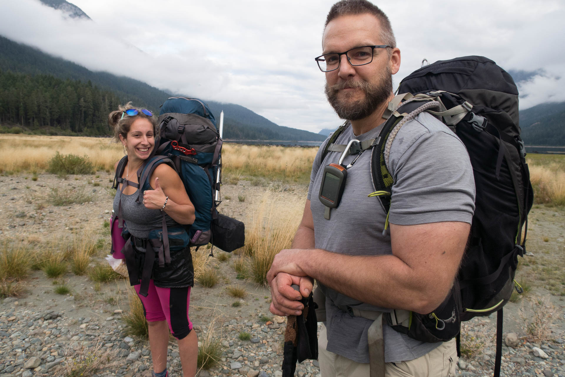
Including Stephanie, we were of a group of three, bent on a two-night trip to Marble Meadows, seeking the relaxed hiking of the area and, more importantly, the three peaks. Our weekend started with a kayak trip from the Augerpoint Day Use Area on Bolden-Westmin Road. The lake was flat, and we made the crossing to the start of the trail at the mouth of Philips Creek in about 20 minutes. I’m sure we wasted far more time getting my beast of a kayak off the top of the Jeep and down to the water than the time we spent paddling.

The trouble is about to begin!
From the lake to the start of the meadows, the route follows a series of switchbacks to climb 1200 meters. The cloudy day offered some mild reprieve from the scorching heat but made for a humid effort. The way is well-booted, and we could see evidence of old trail markers being subsumed into the bark of the trees. Usually, the trudge up would be without a story, but on our trip, we ran into some wasps.
Well-ahead of Stephanie and me, Phil found them first. I could hear him cursing and running, and eventually, shouting warnings to us. I slowed my pace and stepped lightly, trying to spot the nest as I crept along the trail. It gave me a chance to admire the many plants as I worried about setting off the nest. Stephanie was behind me when she shouted out — I was shocked, somehow I had safely passed the nest! The air turned blue as she ran toward me, swatting at a cloud of wasps. When we were at least 75 metres from the nest, I turned to help her as she was still being bitten through her tights!
We formed up with Phil and assessed the damage: Phil, 9 (putting his summer total at close to 20); Stephanie, 11; Matthew, zero. After popping a few anti-histamines, we were on our way without further incident.

the road most traveled kept us on track
The meadows are a welcome sight after the long climb. The route threads between the Limestone, Globeflower, and Marsh Marigold Lakes, and eventually gains a saddle on the southwest ridge of Marble Peak. We ate our lunch here as we dropped our gear in the bush and set out for a side trip to Marble Peak. I self-elected to bring the first aid items, beacons and other equipment, and that meant I brought my backpack with me.

to the right of the prominent rock feature
Of the three peaks, this is the most challenging, well beyond simple hiking. We threaded around the now visible karst and heather, up the mountain to a prominent feature on the ridge. The route heads right down into a gully before crossing a loose dirt slope. After a quick breather, it’s a few easy steps up toward a steep dirt gully, and another scramble between a narrow gap in the stone; my backpack got hung up here on the rocks. The other two came up without issue, having left their packs behind. At the top, we were forced to the right again to bypass a notch, then up another gully before finally finding a few easy steps to the summit. It was much trickier than I expected, but definitely within all our comfort zones.

creeping along the rock
From the summit (1760m), we had a great view of the surrounding area. Morrison Spire and Mount McBride, our objectives for the next day, rose prominently to the north; laid out before us, the lakes and karst features of the meadows.

Stephanie, celebrating the first summit of the weekend, Marble Peak.
By the time we were back at our gear, the forecasted rain was settling in. We followed the route to the east side of Marblerock Lake, and within another hour, we were at the Wheaton Hut (1520m ). Approaching it, we found the door open; inside, one other hiker had already made himself comfortable. We stepped inside out of the drizzle and were invited to join him in the Honta-ed house. I’m trying to say the hut is a mouse house; in the night, one ran across someone’s face.

The Wheaton Hut.
Before the sunset, three more hikers joined us in the hut. There was plenty of space, but had the forecast been better, I would have preferred my tent.


-

- Hellebore Lake

-

- down a bit more

-

- up the gully


-

- Marblerock Lake

-

- Looking across the meadows. I think those are Marsh Marigold and Globeflower Lakes.


-

- Approaching sunset.

Day 2 — Morrison Spire and Mount McBride
We woke early in anticipation of a long day on the trail, and to get a head start on the poor weather that was coming. The route beyond the cabin is not as well-booted, but still easy to follow. We rambled along the boot track to the base of the ridge (1600m) that connects McBride and Morrison Spire. Here, we spotted the millions of fossils. Embedded in rock, and protruding, we could see them everywhere! I took photos for my kids, but I kept to the booted track to protect the surrounding areas.

Fossils in Marble Meadows
At the base of the ridge, the booted track breaks up as it weaves between karst boulders. Eventually, we gave up trying to stay on any semblance of an established route. We picked our way to the top, sticking to the simplest hiking terrain. At the top of the ridge (1730m), we decided to summit Morrison Spire and to leave Mount McBride for later.

On the summit of Morrisson Spire we watched the clouds race below us.
From the ridge crest, we headed south, keeping to the easy hiking terrain toward Morrison Spire. The ridge itself offers simple hiking terrain. This came as a surprise because when we were on the rise above Wheaton Hut, Morrison Spire rises dramatically from the height of the ridge. The route offered no sense of the drama it inspired from a distance until we reached the summit and looked over the edge! As we arrived, clouds dropped in, and as we peeked over the precipice, they rushed past the terrain, giving us just a few glimpses of the surrounding meadows and valleys. With the clouds came the wind, and without a view, we didn’t last long on the summit after eating a small snack.
Muttering about the weather, we descended from Morrison Spire and headed north toward Mount McBride. We returned to the point where we joined the ridge, and continued along it, following the easiest route. About halfway to the summit, we bumped into the three men we had shared the hut with. They had just reached the ridge and were having a little break before they continued on. Having just had a break, we continued along our way toward McBride.

Traversing below the McBride summit Ridge we found the narrow boot-track.
For the most part, we kept to the height of the ridge, but at the last bump before the final ascent to McBride, we continued to the left (west) side of a higher feature. We were more interested in reaching the summit of McBride than in topping out on every highpoint along the ridge.
The route to McBride is the middle ground for the three peaks. While Marble Peak had some exposure, scrambling and tight squeezes, and Morrison Spire was a walk-up, McBride requires a little route-finding and some faith in decision-making. From the saddle (~1670m), we headed north along the west face of the feature. We followed a narrow boot track along heather slopes and scree, and across a few dry watercourses, all well below the crest of the ridge that rose above us. On any other day, this would be a pleasant walk in alpine terrain, but today, the weather was turning on us. It was definitely raining.

Lead the way to Mount McBride, Phil!
As we traversed the slope, we slowly gained from 1670 meters to 1720 meters, where our route eventually intersects a gully leading up the hill. Here, we joined up with another hut-mate, who joined us for the trip to the summit. While the gully offers a very reasonable option (we discovered this on our descent), we kept to the rocks on the right, out of the ravine until we reached 1800 metres. Here, a ramp permitted us to cross over the top of it. Then it was a simple matter of finding the most straightforward path up to the summit ridge.

Phil, summit shot on Mount McBride.
The excitement of reaching the summit of this 6000-foot peak was tempered by the rain and wind. By this time, we were all layered up in our waterproof layers. Stephanie even had a rain poncho to help keep some of the water off. We spent a chilly thirty minutes exploring the summit register, hoping for a break so we could catch a view of the meadows below, but eventually, we gave up and headed back.

The sun is just about to start shining.
The return was very typical. In the light rain and blowing clouds, we tucked into our warm layers and descended back to the ridge. Somewhere along the traverse of the 1700-meter contour line, we bumped into the group of three from the hut again (I think they tried to gain the ridge prematurely and then abandoned their summit bid in the wind/fog). As we wandered the ridge south toward the saddle which we would use to descend to the meadows, the weather broke –typical! Finally, we had an excellent view of the Meadows, the three peaks, and many of the surrounding ones too.

Sweet shelter from the elements.
By the time we made it back to the hut, my clothes were almost dry. Even the evergreens had dried in the wind and sun. We arrived back at the Wheaton Hut around 4:00 pm and spent the rest of the evening eating and socializing, retiring to our sleeping bags when we lost the light of the day.
-

- Ptarmigan nest! A highlight of the trip!

-
- A small section of the ridge between Morrisson Spire and Mount McBride.

-

- Approaching the summit of Morrison Spire!


-

- The ridge between the peaks.
-

- A trickle of water running over the rocks.

-

- through the foggy meadows.
-

- fossil in Marble Meadows
-

- So much moss!
-

- don’t fall in there.

-

- Traversing below the McBride summit Ridge we found the narrow boot-track.
-

- leaving our cares behind!
-

- Fossils in Marble Meadows


Day 3 –Wheaton Hut to the Jeep
We had fantastic weather on the third day– exit the hordes! We hiked mostly the same route back, but at Marblerock Lake, we use the south side of the lake, keeping to bare rock. As we walked, we spotted lots of other tenters! At one point, we spotted a group of 12 tents pitched out close to each other. It made me happy that we had ventured farther along the route before stopping that first night.
Morrison Spire, shot from the rise above the Wheaton Hut.
At the lake crossing, we reloaded our gear and headed for the vehicles. While Phil and I followed a more traditional paddling methodology, Stephanie loaded her backpack and clothes into her kayak, then pushed the boat across as she swam!

just keep swimming.
The hike through Marble Meadows delivered on the promise of maximum reward for little risk. And although we had poor weather one day, it wasn’t enough to ruin the trip. It’s inspired me to plan a family trip to the area when my kids are a little older.
So clean and fresh! Just out of the boat and ready to start hiking.
There were only two sour notes on the trip. The wasps are an obvious issue, but one that will change from year to year. Heck, we didn’t even see them on the way back down. The second issue was campfires in the park. Not only did we see multiple informal fire rings, and plenty of fire scars, but one of the groups in the hut started a fire right outside the building! And adding to that, from the knoll above the cabin, we could see two other fires burning down by the lake. I suppose Phil’s right: “Some people just want to see the world burn. ”
View The Full Album Of Images
Share this Post
Comments
I am hiking these peaks and the surrounding area in Marble Meadows in a few days, it looks like i might have better weather then you did! Thank you for the trip report.