
Vancouver Island’s backcountry is riddled with a maze of logging roads that penetrate deep into secret valleys and grant access to its hidden peaks. Although I bemoan the logging of old-growth areas, I take these roads for granted. Without these roads, I would have many long, bushy approaches which would add days onto each one of my adventures. Because I can use the roads to access peaks that are tucked in behind other mountains, I seldom cross over one mountain to get to the next. However, I did exactly that on July 26th when Rod and I hiked to Idsardi Mountain in Strathcona Park.
Idsardi Mountain is nestled between Crest Mountain and Big Den Mountain, and can be accessed by climbing over either mountain. Although the routes are fairly easy to hike, each route has significant distances and elevation gain/loss. This fact accounts for why Idsardi is usually done as a traverse of all three peaks, not a day hike. It’s also the reason the peak was still on my Island Alpine Quest to-do list.

GPS Route and Map
View the route and see where I took my photographs.

Horizontal Distance 28 km

Starting Elevation 308 m

Maximum Elevation 1667 m

Total Elevation Gain 2334 m

Total Time: 11h 30m
On Monday night, Rod messaged me with his plan to do Idsardi Mountain as a solo trip the following day. I invited myself along to take advantage the great forecast. Honestly, I didn’t know what I was getting myself into. Although I hiked Crest Mountain this past winter, I didn’t visualize the route to Idsardi well; in my mind, I saw a peak just off the summit of Crest Mountain—just a hop, skip, and a jump away.
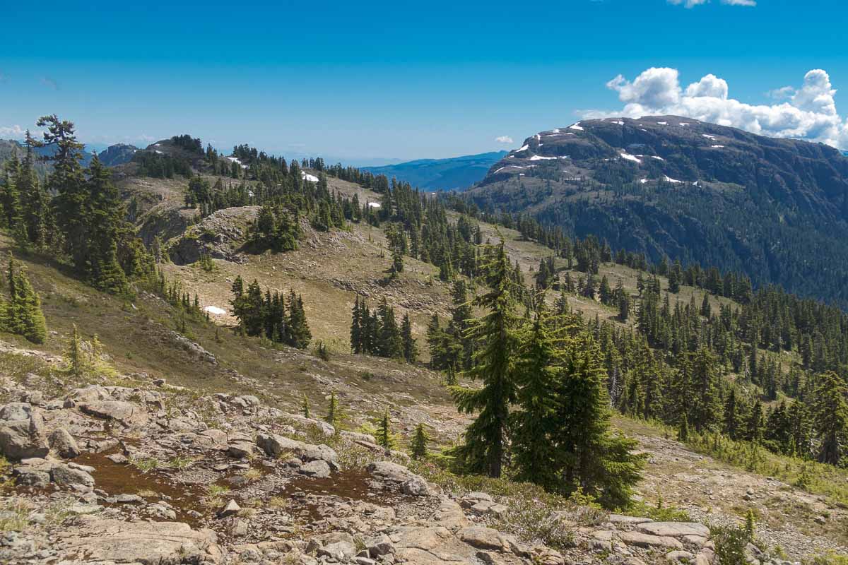
I was keen to get going when we met outside Rod’s home at 4:00 am. The early start ensured we had enough light for the trip, and let us gain the majority of the elevation before the hottest part of the day. The plan worked, and we stood on the summit of Crest Mountain (~1554m) by 10:00 am. As we ate our snack in the hot sun, smacking the mosquitos feasting on us, we examined our maps and the terrain ahead. It looked simple enough: just 350 metres of elevation loss and 400 metres to gain, all through pleasant open terrain.

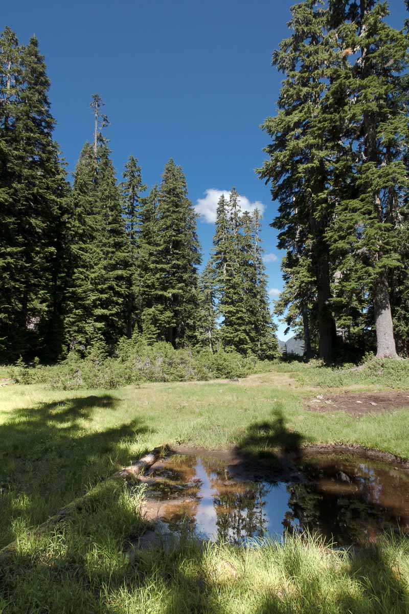
We headed off the north end of Crest Mountain, descending through large fir trees and heathered slopes. As the scent of the flowering heather wafted through the warm air, it triggered memories of past trips. I associate the scent with a parched throat, and as if obeying some Pavlovian cue, my tongue stuck to the roof of my mouth. Although I carried 1.5 litres with me, I sipped it sparingly, wanting it to last. All the same, I was delighted to descend the long slope after the steep climb of Crest Mountain.
The terrain is easy to navigate, but requires some route-finding skill. Before reaching the saddle between Crest and Idsardi, we dropped off the east side of the ridge below the saddle to avoid some bluffs. It was pleasant to walk in the shade of the big trees—almost worth the light bush we had to work through.
To say we quickly ascended from the saddle to Idsardi would be a lie. We walked the easy route uninhibited, but by the time we’d done half our elevation gain, our water bottles were empty. As we ascended, we searched widely for water, but found only a small trickle coming off the last pile of snow remaining on the south side of Idsardi. It wasn’t enough to fill a bottle, but it wetted our whistles while we ate our lunch on the cairnless summit.
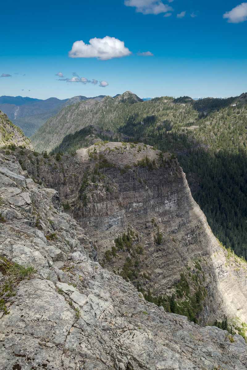
After the longer-than-it-should-have-been climb, I was grateful to sit on the hot slabs on Idsardi’s summit and admire the views. I looked west toward the Elk River Valley, inspecting the mountains for my upcoming trip to Elkhorn Mountain and Elkhorn South Mountain, noting that they still had enough snow on them to provide drinking water at our camping locations. Thanks to the clear day, we could also see the potential route to Big Den; that adventure would wait for another day.
The pleasure of sitting was tempered by the only sour note of the day: the relentless bugs —a continuing theme for the summer, I know! The light breeze should have cooled us as we sat under the hot sun, but I couldn’t feel it, because I wore my rain jacket as mosquito armour. Despite the bugs, we stayed at the summit and enjoyed the hard-earned views for a long time. I wasn’t eager to head back; we had more elevation to gain when we regained Crest Mountain, before wending our way down the steep switchbacks to the car.


On our return, we took every opportunity to cut angles and reduce elevation gain. As we worked our way through the saddle between the two peaks, I slipped on a buckskin log. I don’t remember the fall, but I do remember seeing my feet above my head, worrying about crashing into Rod, and grunting as I smashed my tailbone down on the log. Don’t worry though, when I rolled off the two-foot-high log my face broke my fall…on a rock! Well, almost; fortunately, I crashed down with my forearms on either side of the protruding rock, which only grazed my chin. However, my tailbone was on fire!
Regaining my feet, I could feel a deep bruise forming on my glute and tailbone. I don’t feel like it slowed me down, but I’m sure it must have. As we continued, we cut to the east of Crest Mountain’s summit to avoid unneeded elevation gain. Traversing below had its benefits: we found a strong trickle of fresh snowmelt running between two large boulders. We each filled our bottles multiple times before hiking the final stretch back to Crest Mountain’s ridge and the festival of switchbacks down to the car.

I had a great day out with Rod. As I reached the car, I was exhausted, and the data showed me why: we had covered a lot of ground, much more than I expected. In fact, it was more intense than a day trip to Mount Albert-Edward! We covered 28 km and 2334 metres of elevation gain in 11.5 hours. We were a bit slow, which I attribute to the hot day and my sore butt.
As we drove home, I felt the familiar stiffness developing in my legs, and my mind wandered to my upcoming trips. In the following few days, I had trips planned to Triple Peak, Elkhorn, and Elkhorn South. I was rushing home to rest for my hike the next day. I couldn’t help thinking, “Maybe I made a mistake – I’m going to be slow!”
Share this Post