
 |
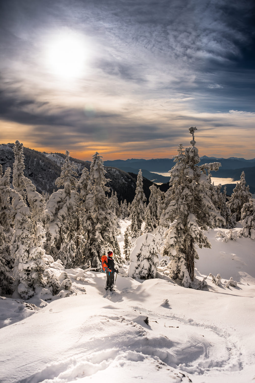
| I’m not sure why this looks so amazing but who cares! |
2014 has seen late onset of winter conditions for Vancouver Island’s alpine. Though the Island isn’t exactly known to be a winter wonderland, there is usually an excellent buildup of snow at elevations exceeding 1300 m. This year, it has only been in the last week that the peaks have anything more than a dusting of snow, at least it’s something.
I’m a member of the Island Mountain Ramblers and we have already cancelled (or rather rescheduled) one snowshoeing trip for lack of snow. We continue to add low alpine and hikes to the schedule, always wondering if what we would find for terrain in the higher elevations. Sunday December 14th was my first time walking on snow!
 |
| GPS Route with 30 photographs |
Total Horizontal Distance: 18.9 km
Starting Elevation: 325 m
Maximum Elevation: 1422 m
Total Elevation Gain: 1175
Total Time: 6 hours
Phil Jackson, Rick and I rendezvoused in Nanaimo at Harewood Mall. Sadly, I was denied sweet treats and coffee, no sustenance available as the local cafe was closed. We hit the road at 6 am, our destination, a spur at the end of Toma Main off the Valley Link Hwy (AKA Comox Mainline).
I’d love to say that it was a straight shot through the valley and we made our destination in good time but I can’t. Instead we employed another strategy drive every single logging road en route. I have to say that we were very successful in taking nearly every wrong turn possible! I can’t impress upon you, dear reader, enough, the importance of both having a GPS/Map, AND using it. We had three and still somehow managed to get turned around. I’ll take responsibility for at least one of those. With that admission I will also stress the significance of knowing exactly where you are heading, as I did not. One shouldn’t give directions when they don’t know where they are heading. It’s not a good scene. The route I posted in my GPS track has eliminated the wrong course, trust it.
 |
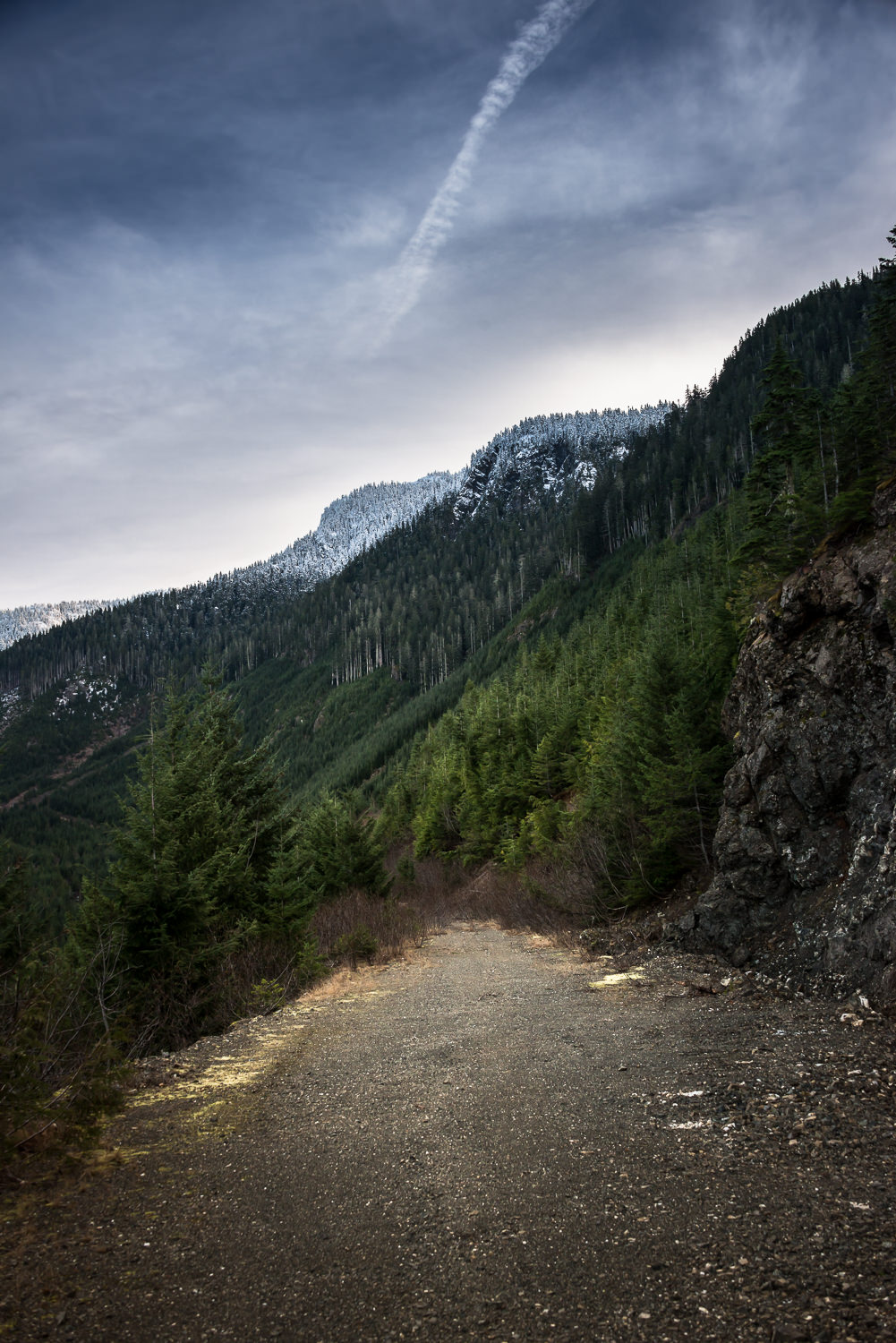
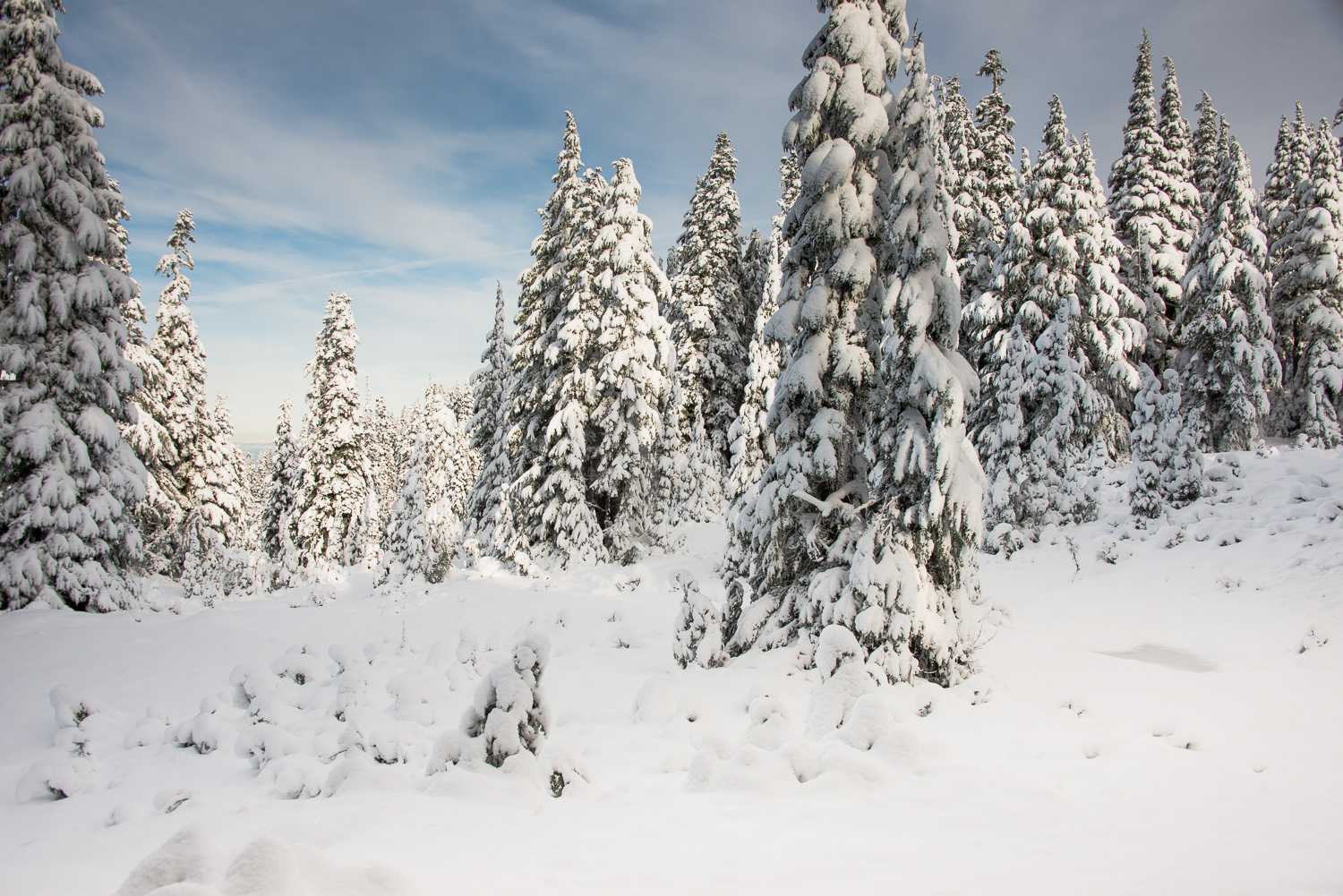
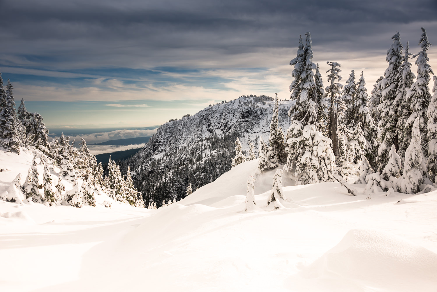
| Viewed from the logging road |
Our dream was to find an open gate, whereby we could drive up the logging road to the beginning of the old logging road which eventually gives access to just 300 m below the summit. Luck would not be with us today. Because the gate was closed, we parked and headed out on foot.
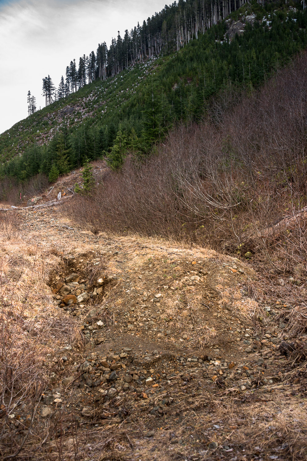
Between the gate (marked Gate, Parked 041414) and the start of the old road (marked End of New Road 081414) the road is easy walking, The road is exceptionally well maintained though there are a few long steep sections. There is evidence of active logging, machines on the roadside and several logs set off to the side. We made it the 5 km and 500 meters of elevation gain through the new road section to the old road in 1 h 15 minutes.
The old road is not suitable for driving by anything other than a true 4×4’s with a lift-kit, and even then there are various obstacles that make parking and walking the remaining distance a more viable option. The old road gains 325 m over its 3 kilometres. At 1000 m, we started walking on light snow, my first of the season! We continued on our way until we found a spur leading NE, we followed it to its terminus at 8.3 km from the gate at a height of 1150 meters. By the time we reached the gate we had gained more than 800 metres of elevation. We looked forward to hitting the trees.
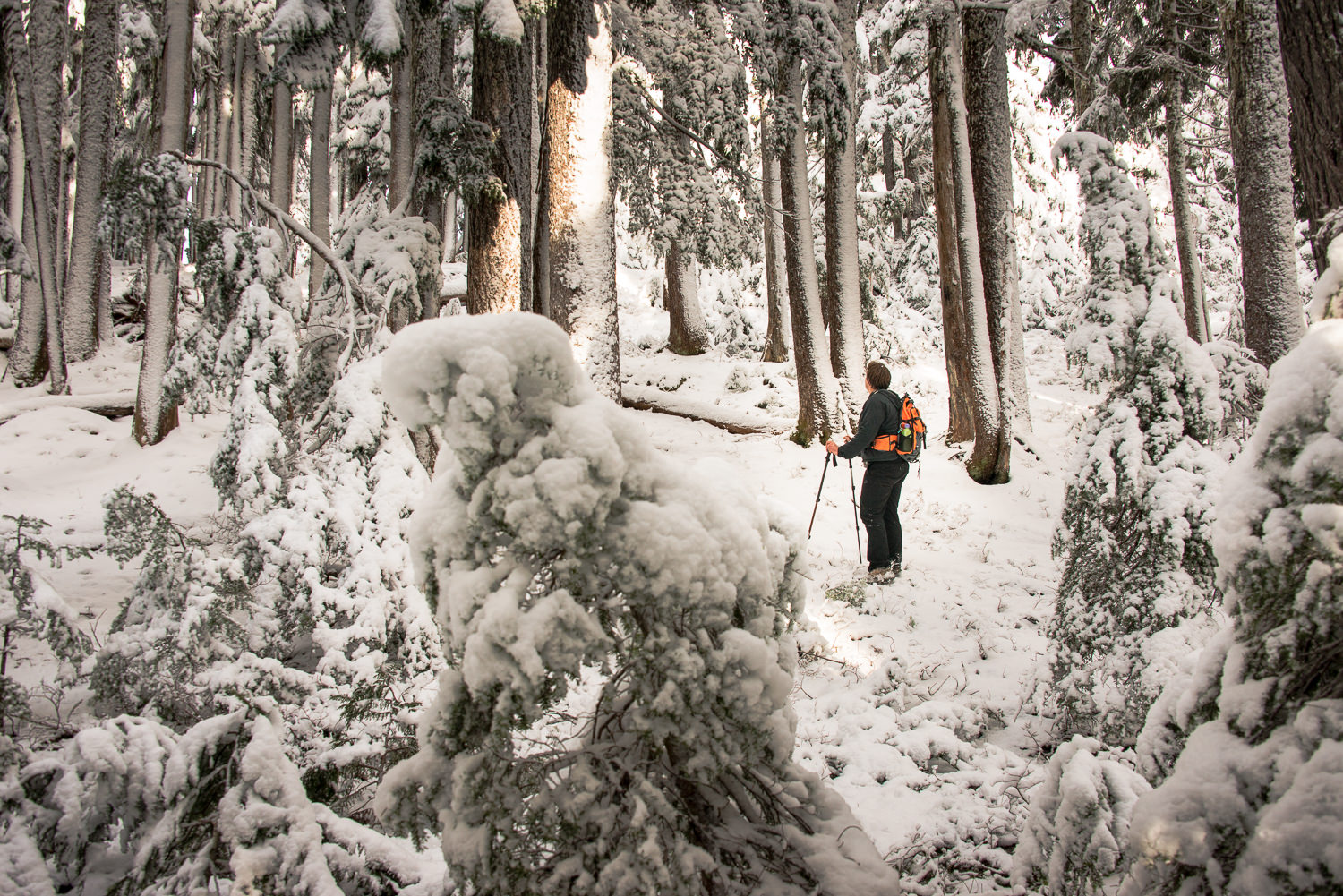 |
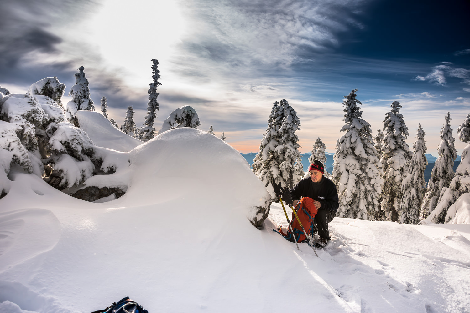
| Phil, leading the flagged route |
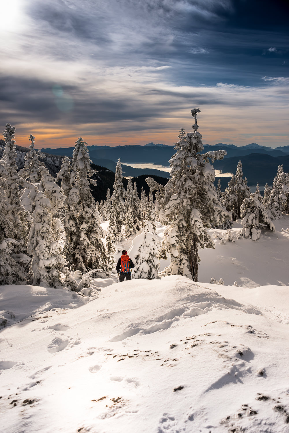
We discussed our option for the final climb. As luck would have it the route that we chose led quickly to the trees and immediately we found flagging. The flagged route is simple hiking over steep terrain. The route is flagged in multiple colours and it leads up the entire hill to the top of the ridge. As we neared the top, the snow became deeper, a light powdery snow that would eventually get as deep as fourteen inches. At the top, the trees were encrusted with snow, making following the ribbons impossible.
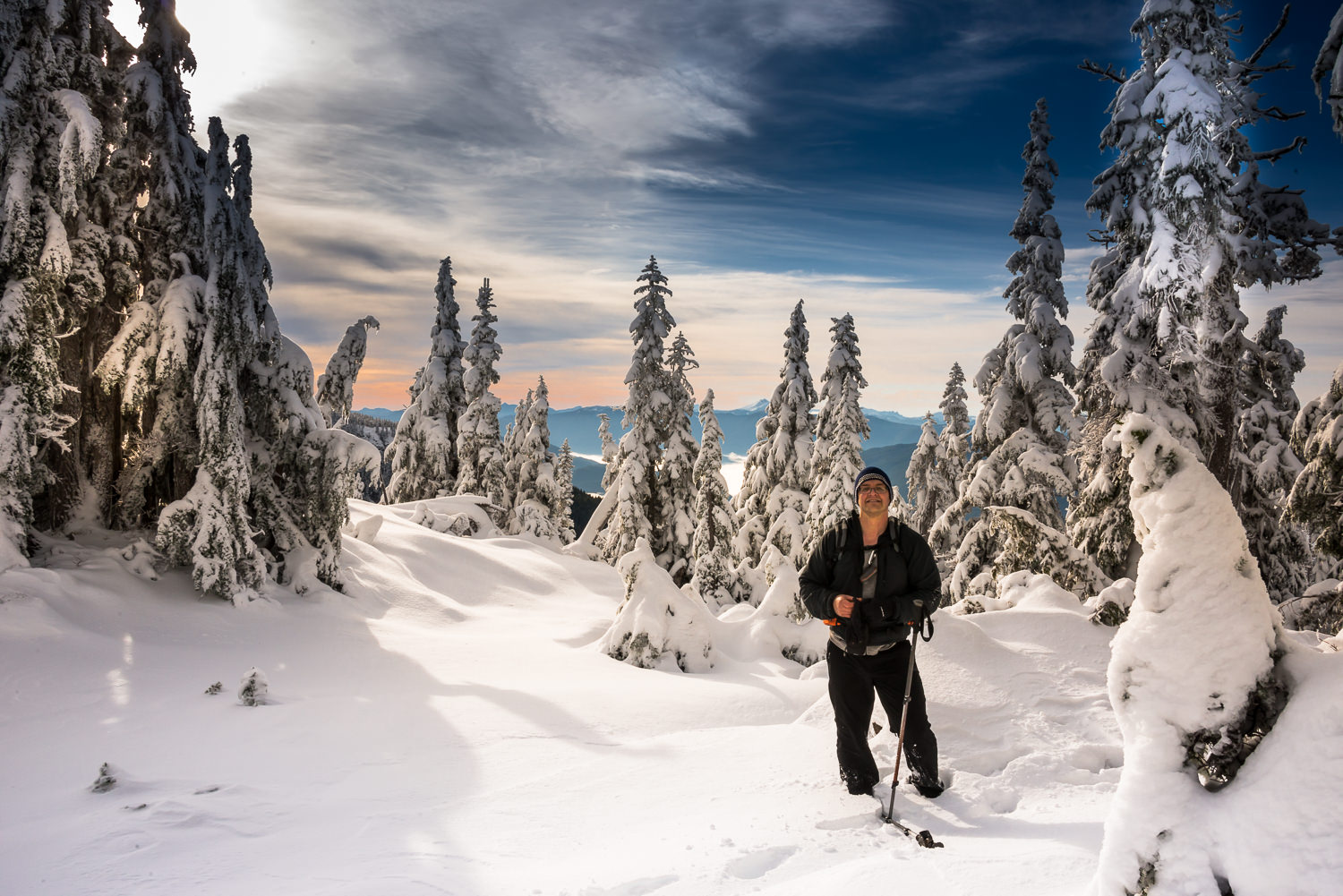
From the top of the ridge we followed our instincts and kept inside the trees to reduce our exposure to the deepest of the snow. As we ascended we did find several more flags, indicating that we were probably on the normal route.
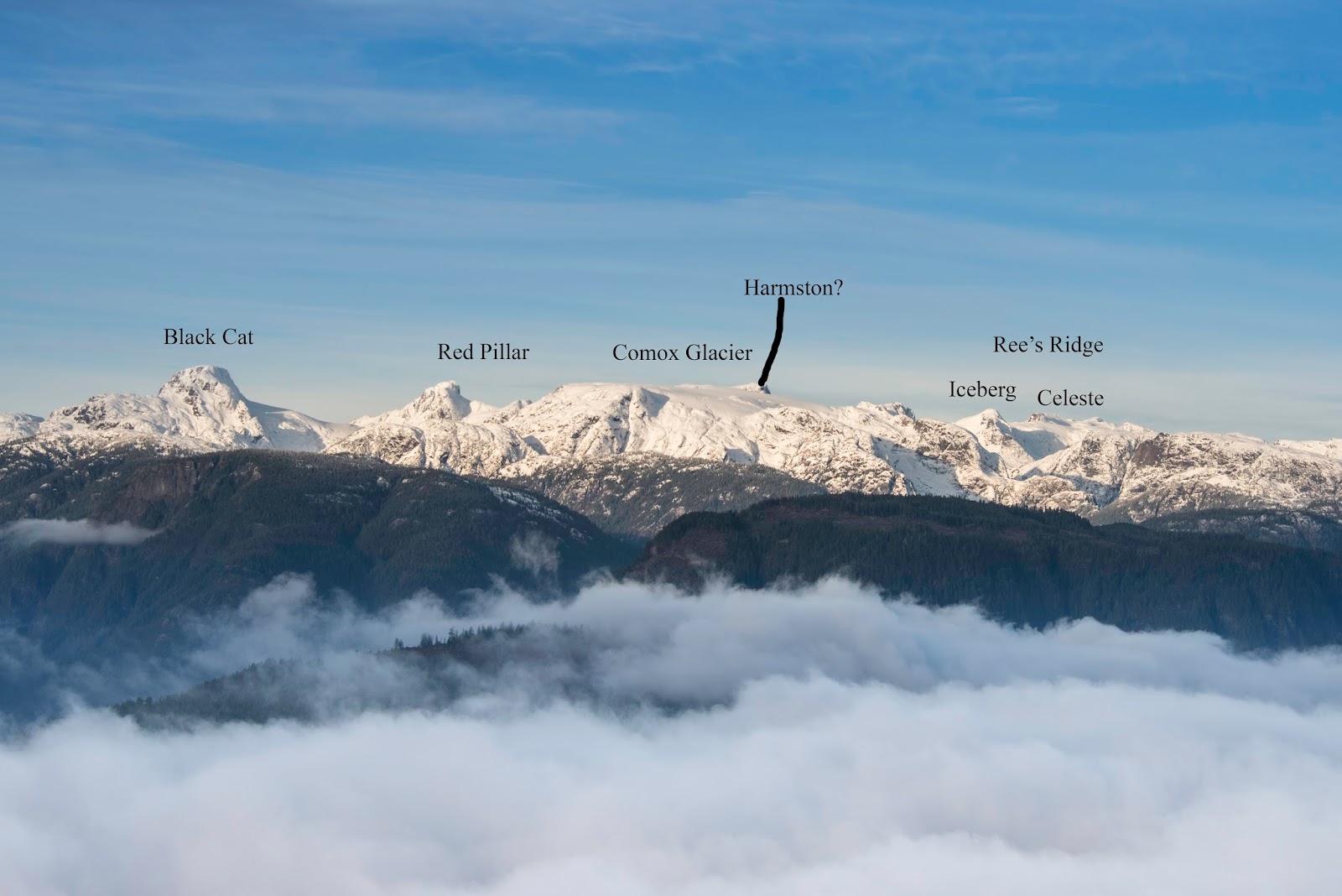
The summit of Mt Clifton is treed. As we reached the top and round the final copse, the outstanding view became exposed! What a view, we could see several of the Beaufort peaks and well off into the deeper sections of Strathcona. We reached the cairn on the summit around noon, my GPS tagged it at 1422 m, 8.5 km from the gate.
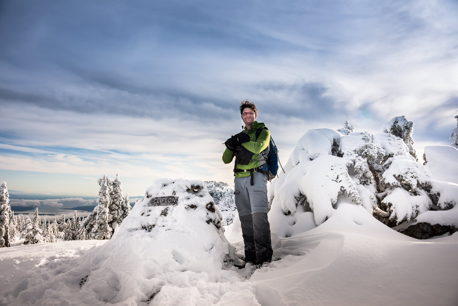 |
| Hey! That’s me! |
We only stayed on the summit long enough to pose for some photographs before the cold wind routed us. We beat a hasty retreat to an elevation below the ridge. Here we ate our lunch and boiled our water for hot chocolate and coffee.
Our descent was quick. I am always grateful for good conversationalists. the 8 km, whizzed by. We arrived back at the car by 2:30 and we were quickly on our way home.
Although I thoroughly loved the this trip, first of the season snow is magical, I am not rushing out to do this hike anytime again soon. Now that the dust is settled the data indicates we did 16.5 km of walking on logging road and less than 2.5 km in the trees. An important note, Walter Moore signed the register after summiting 4 peaks in the Beaufrot Range in the same day. His method truly seems to make the most sense! Why walk the long logging roads for each summit if you can ascend once and spend some time wandering the peaks. However, the view on the summit is amazing!
View all 30 photographs in the album…
Comments
Just to let everyone know that I did put up a new summit book this fall. Yes the beauforts make a good hike.