 |
| Ralph River, Rees Ridge & Henshaw Creek Route |
Total Horizontal Distance: 64 km
Total Ascent: 7300
Max Elevation: 2042 m
Starting Elevation: 230 m
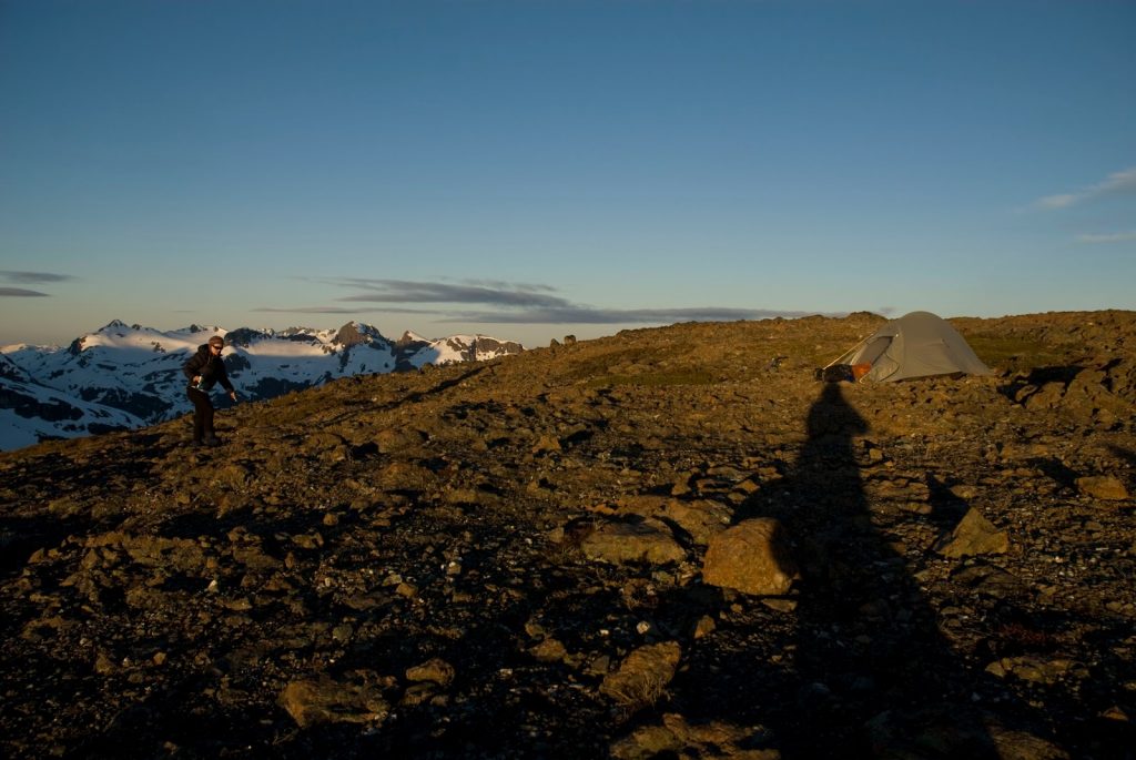
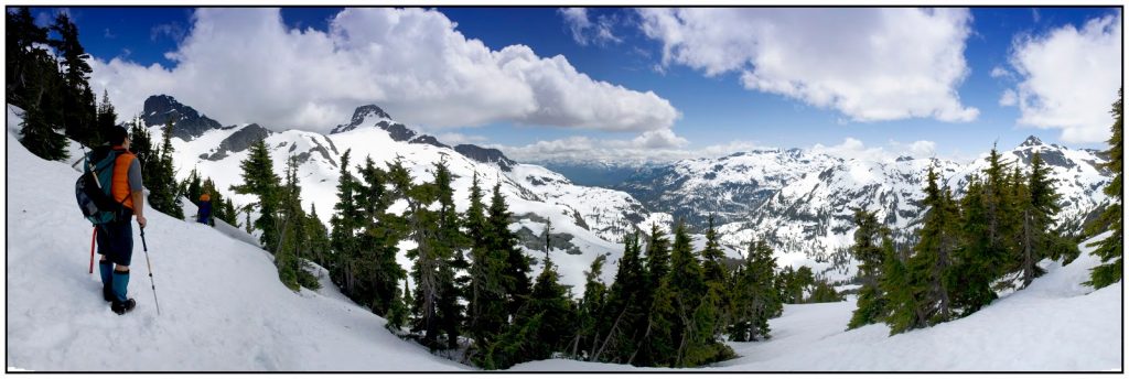
Although it is always great to plan the next big trip, the next summit, the next islet it is equally as rejuvenating to look backward and remember. That is exactly what I did today.
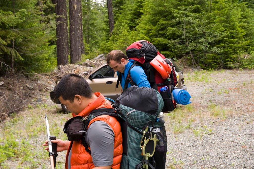
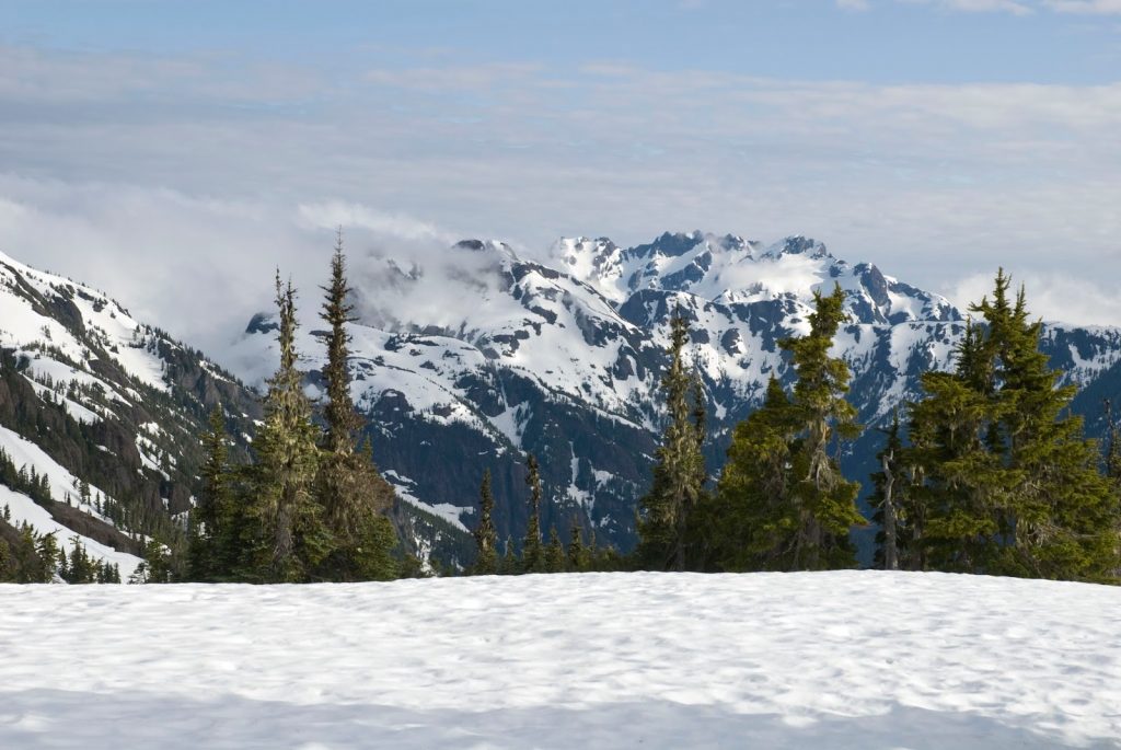
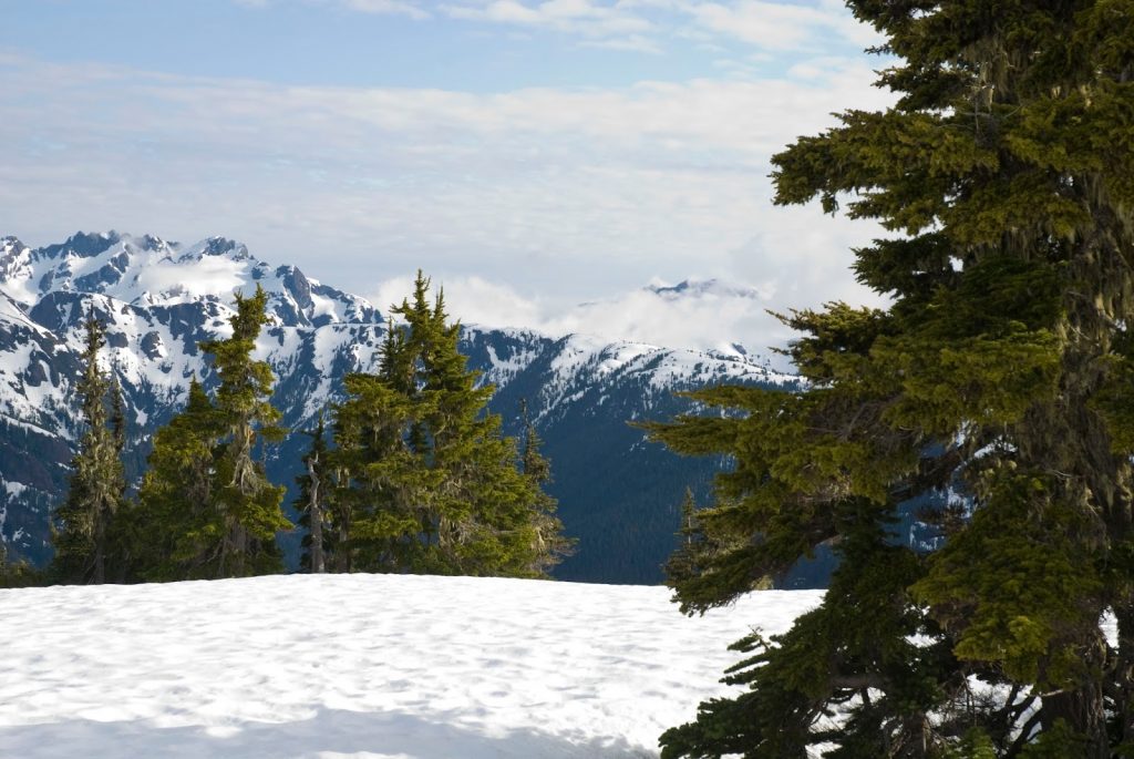
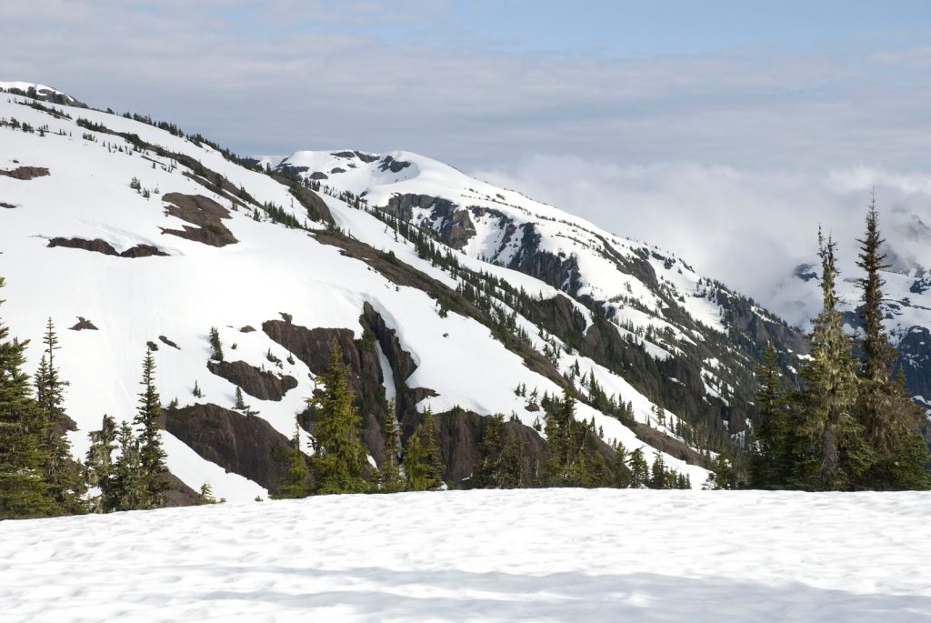
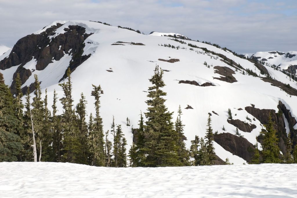
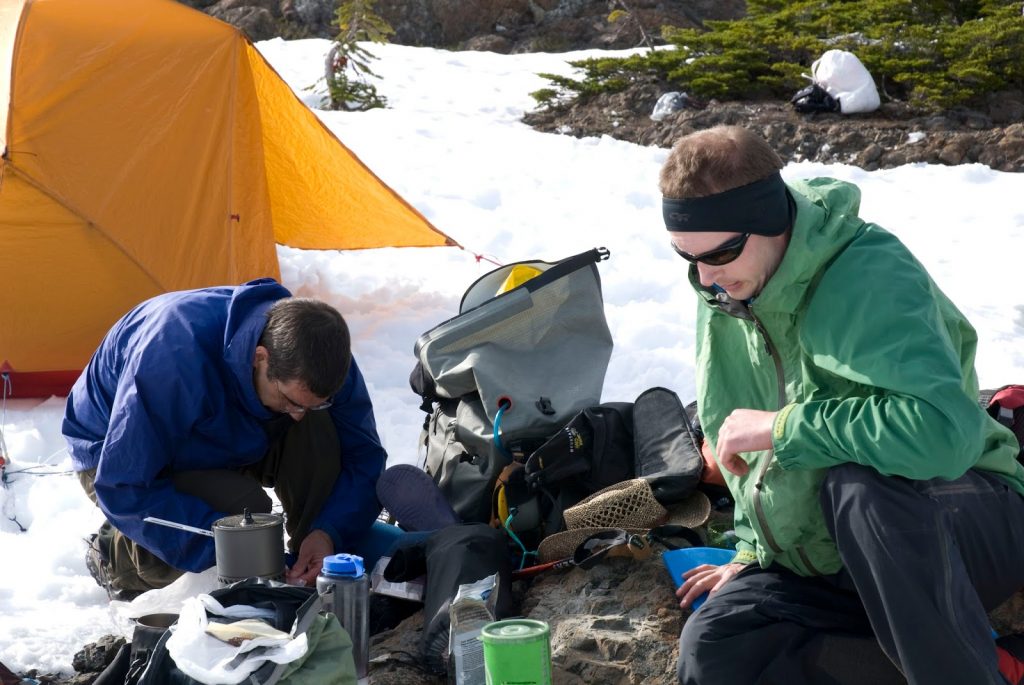
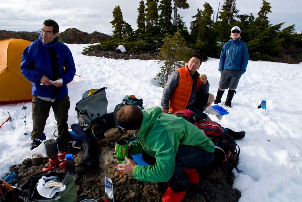
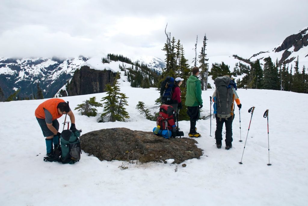
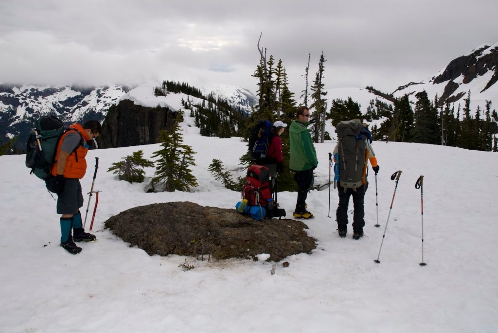
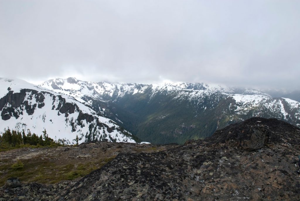
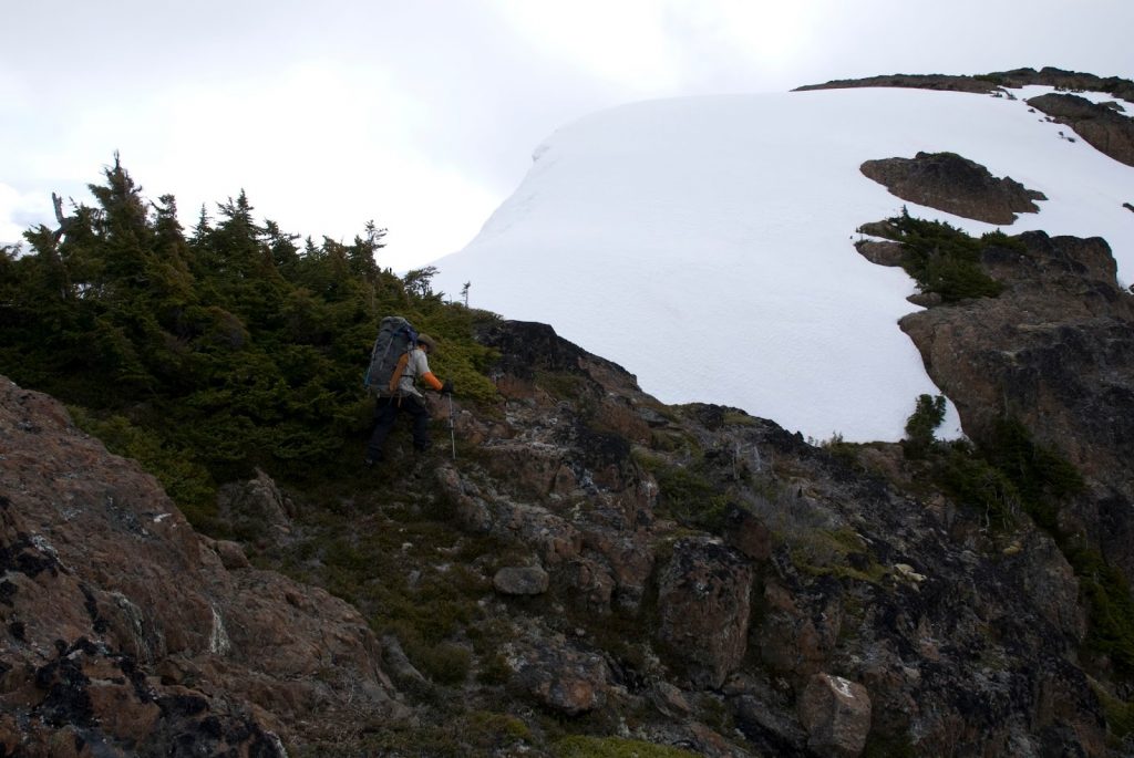
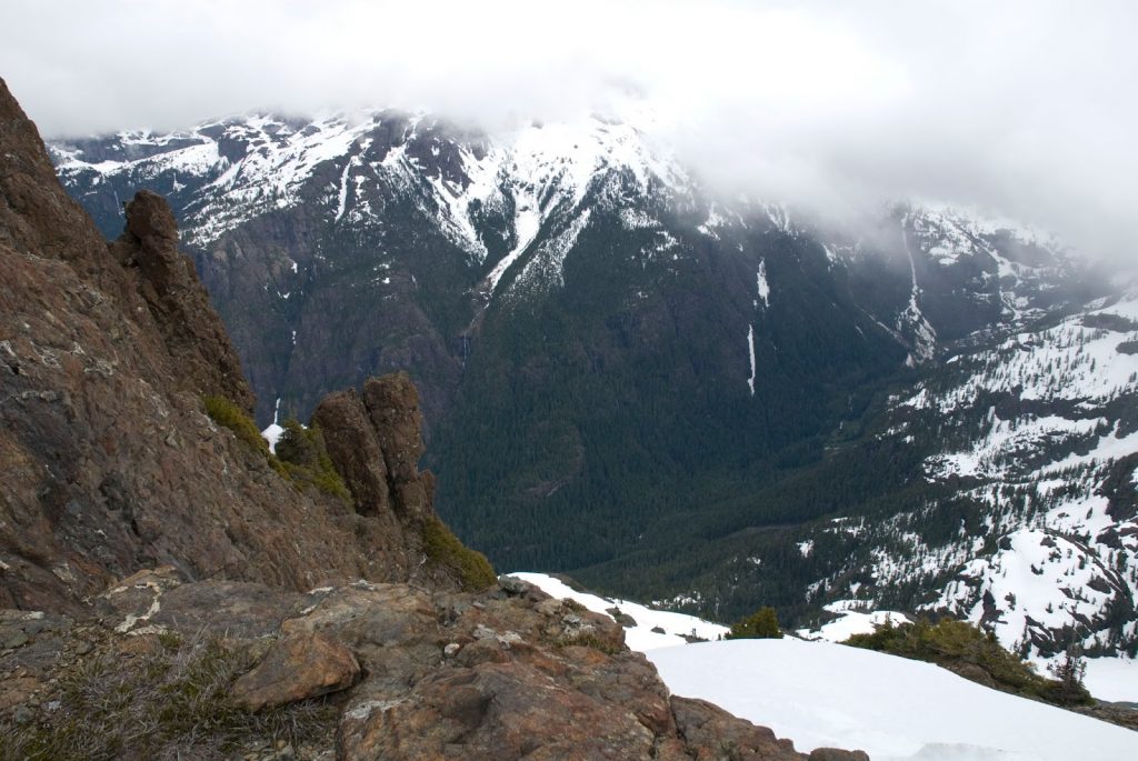
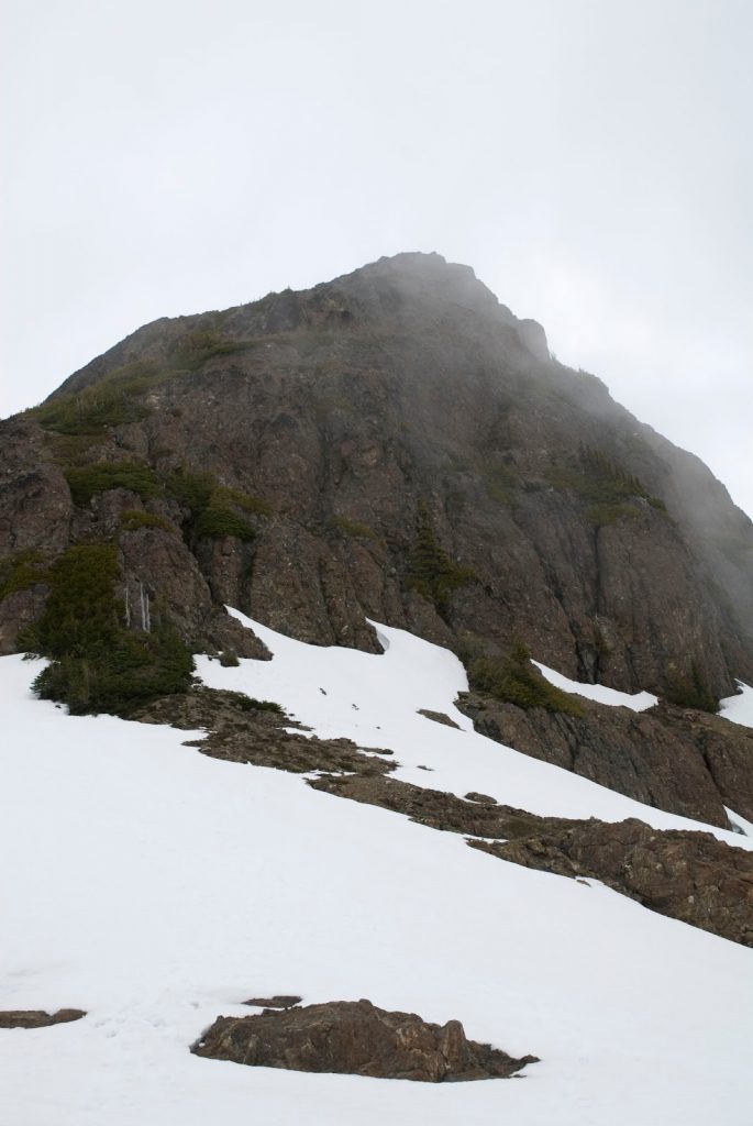
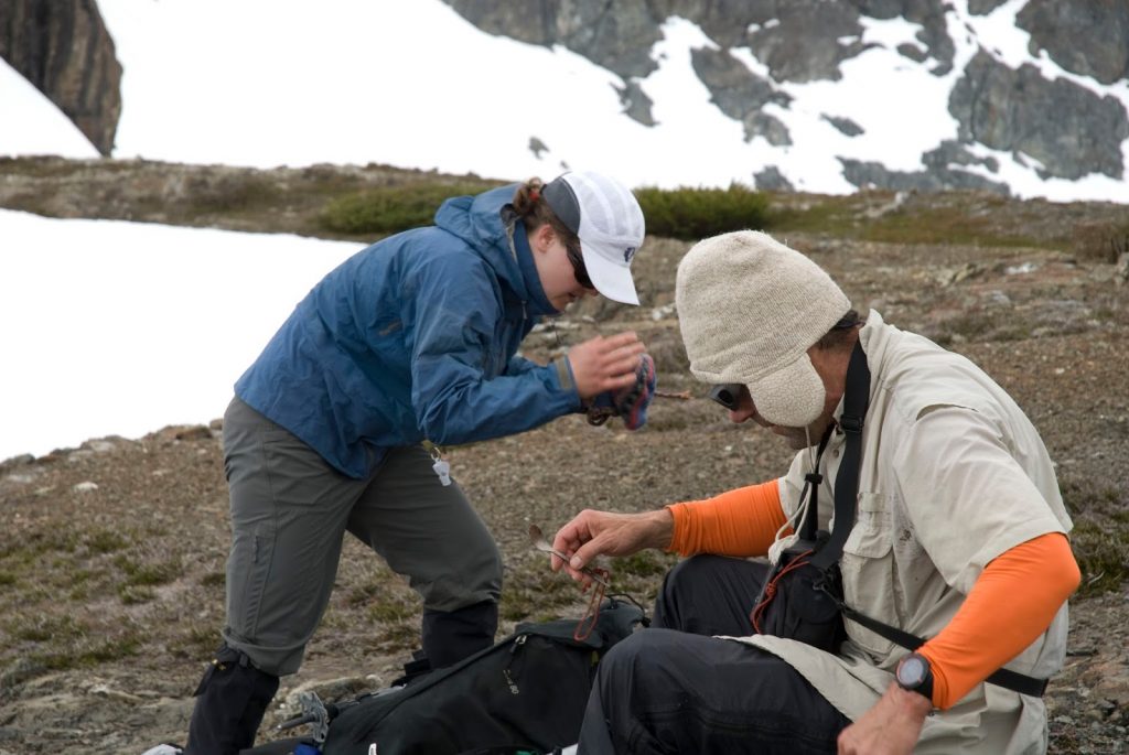
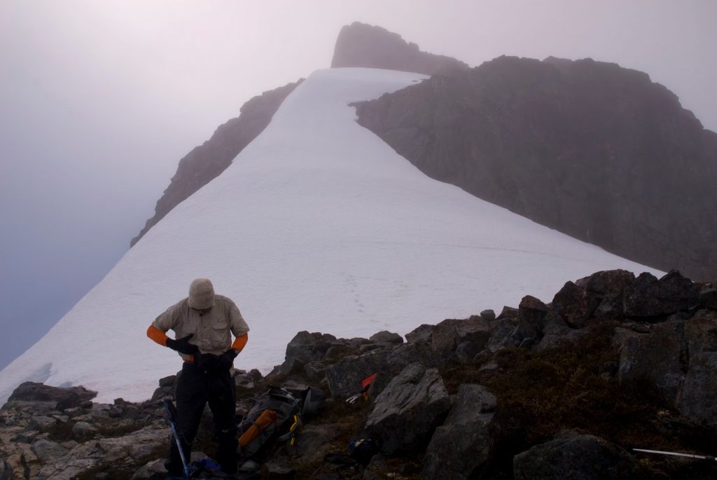
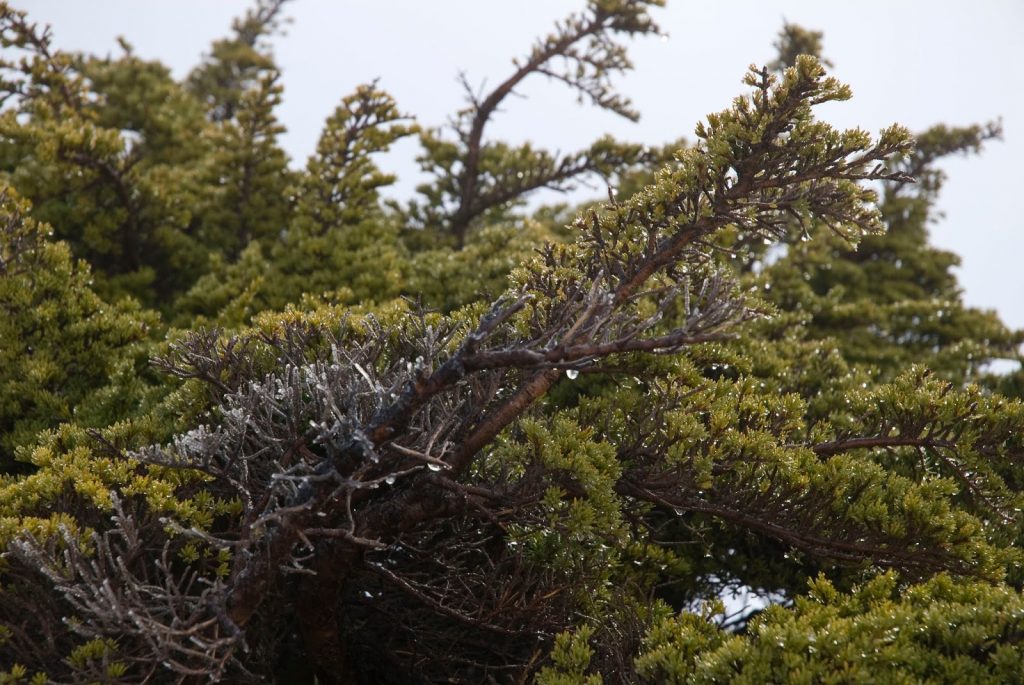
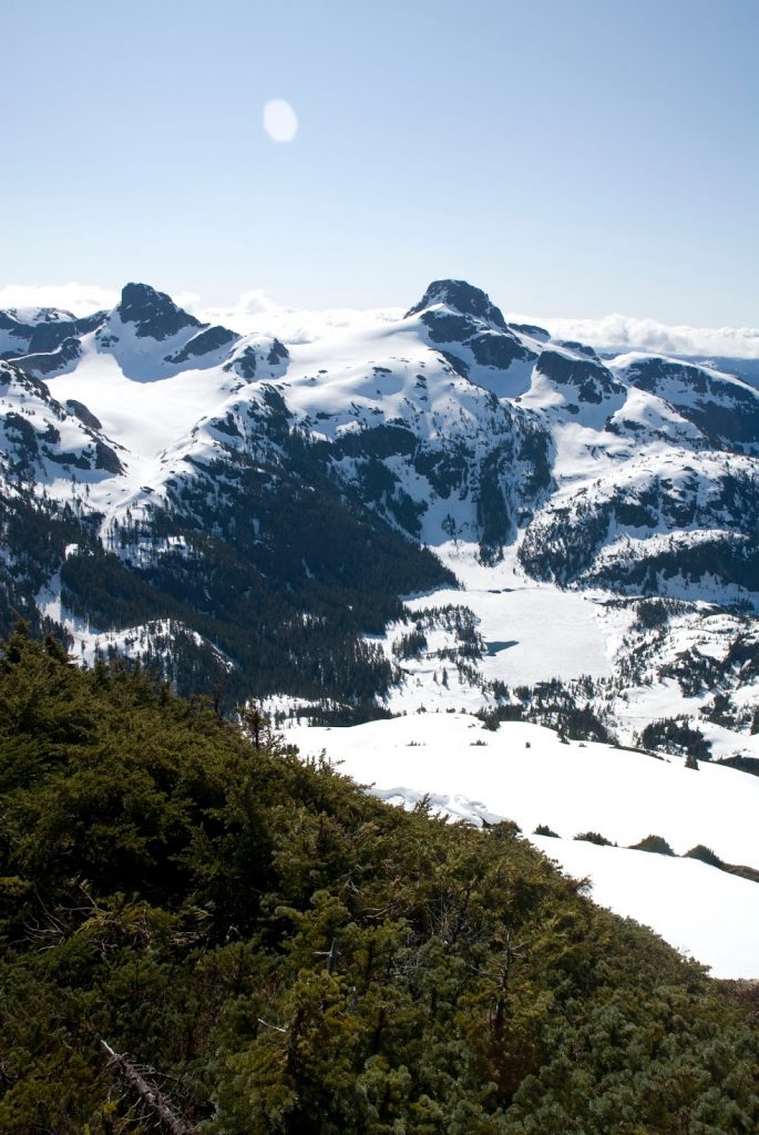
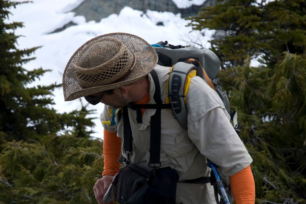
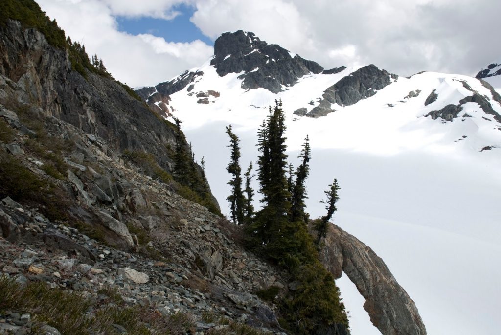
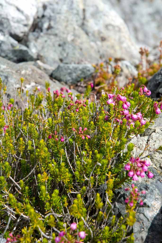
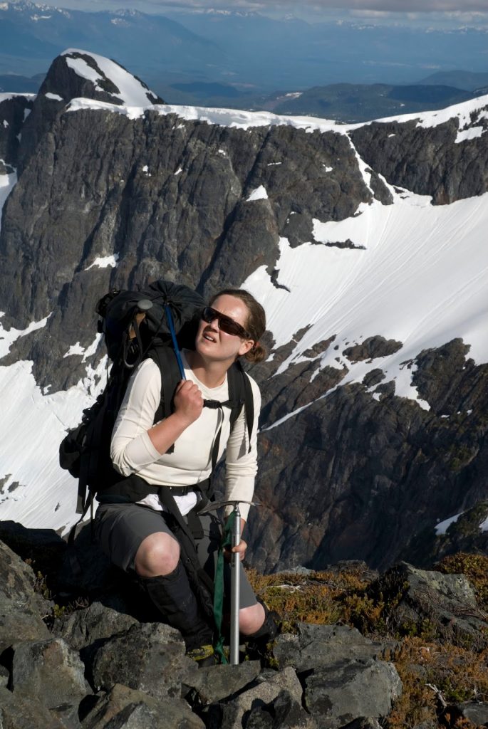
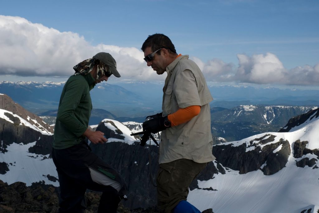
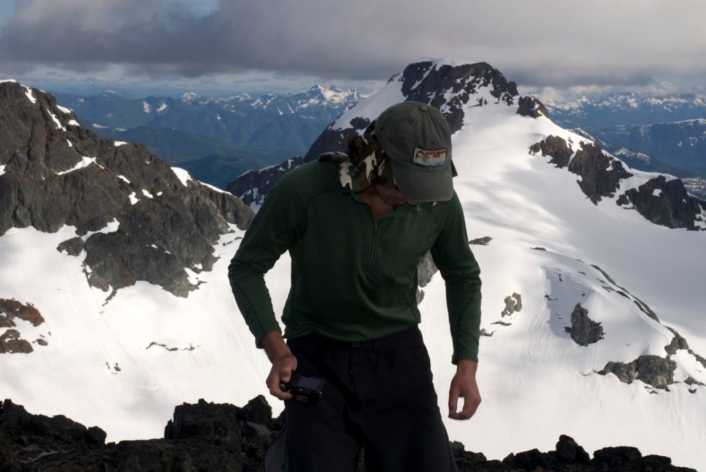
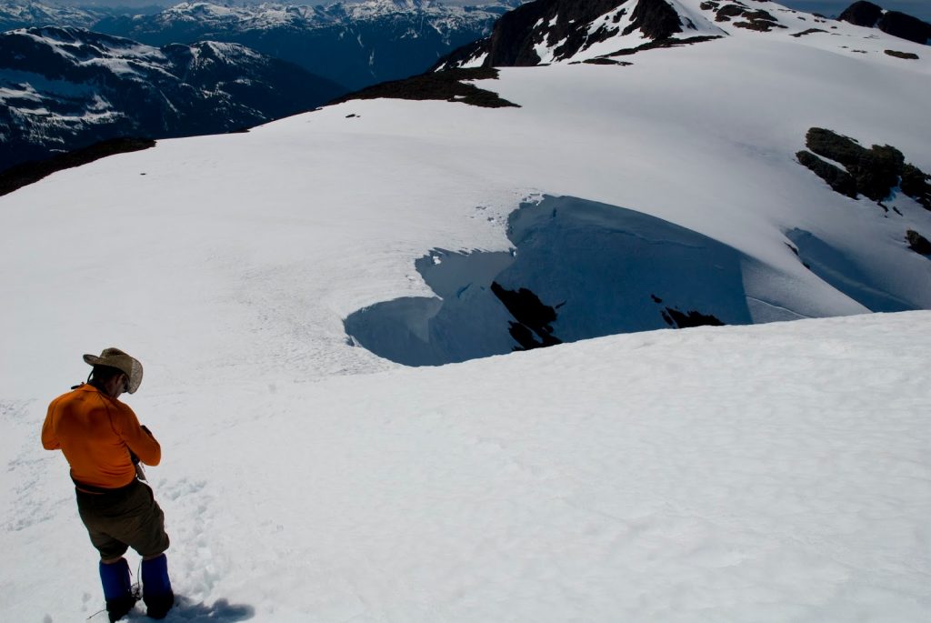
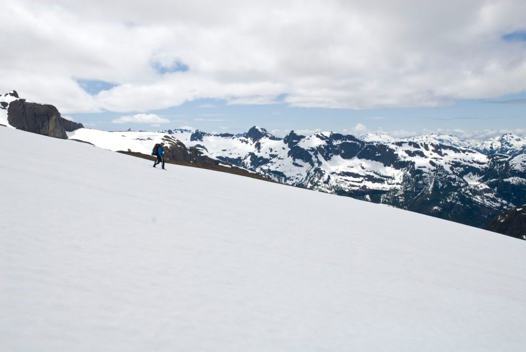
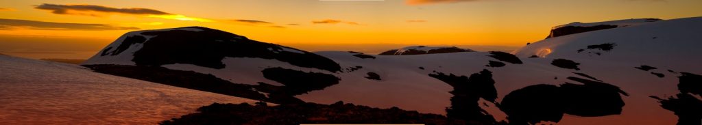
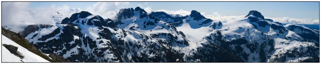
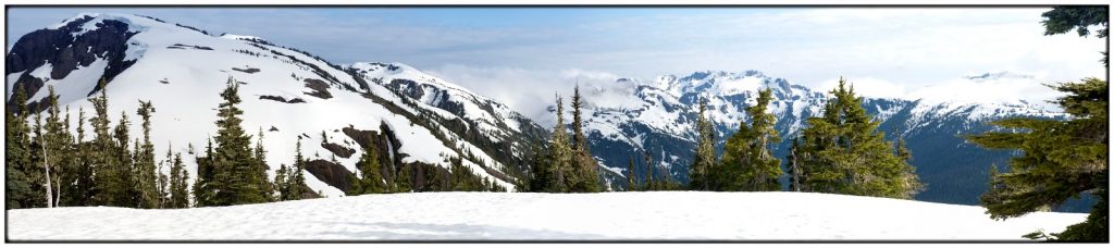
Several years ago a good friend and I mustered an epic 6 day trek through Strathcona Park, on Vancouver Island. Now, Strathcona is often visited but most people visit the more easily accessed area of British Columbia’s oldest provincial park. To say the least, this trek took me to places I couldnt even I could get too. This trip kicked off my interest in mountaineering.
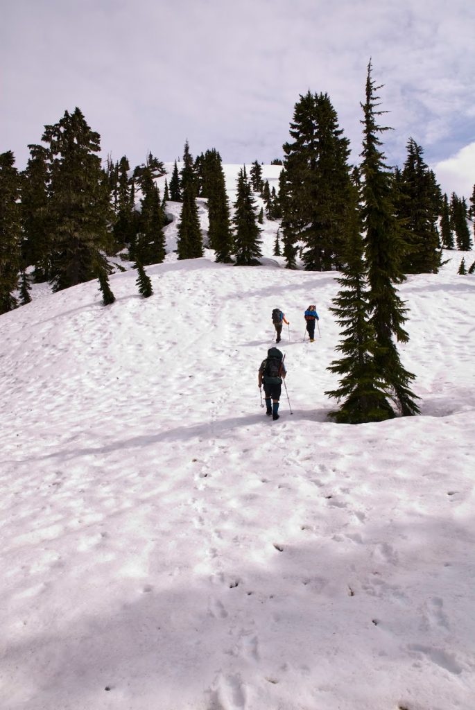
Six days, 75 kilometres of horizontal distance, 7400 m of total vertical distance (about a 1000 m less than the summit of Mt. Everest and 1400 more than Mt. McKinley), 9 major peeks and umpteen sub peaks and a whole-lotta-fun!
On the trip we bagged, Sheppard’s Horn, Sheppard’s Ridge, Harmston, Siokum, 1909, 1920, George V, and the feature known as Celest. It was also the first time that I witnessed someone glissade down the slope of a Mountain for more than a kilometre.


Comments
Pingback: Flower Ridge Ramble 2014 | Explorington
Is there any noticeable route I can follow going through the forest up Shephard’s ridge, from the highway or is it a complete bushwhack requiring full self navigation?
Hi Alex, I’ll email you.